Introduction to the web site
The web site is written freely by scientific and technical experts living in the Noto Peninsula and their friends.
The content is intended to cover a wide range of topics, including not only what we have researched but also what we are doing and what we are thinking. We will build on the past and look to the future in our activities.
The two images in the slide show represent that intention.
The 1st Image of the slide show
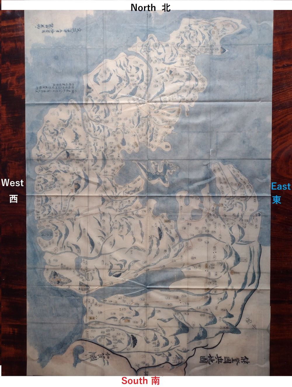
The Noto Peninsula is located near the center of Japan and juts out into the Sea of Japan. This is its ancient map. The directions are colored around the map according to The Theory of the Five Elements in Yin-Yang.
Ancient map of Noto Country, owned by Nanso Museum of Arts:
An old map made in the 2nd year of Yoro (718 AD) and copied by Jonan Misato in the 7th year of Edo Bunsei (1824 AD).
NANSO MUSEUM OF ARTS: Address: Ono-machi, Wajima City, Ishikawa Prefecture
古地図 能登國興地図、南粗忽美術館 蔵:
養老二年(718年)に作られた古地図を、江戸 文政7年(1824年)に城南美郷によって写された。
南粗忽美術館(NANSO MUSEUM OF ARTS):石川県輪島市野町大野
The 2nd Image of the slide show
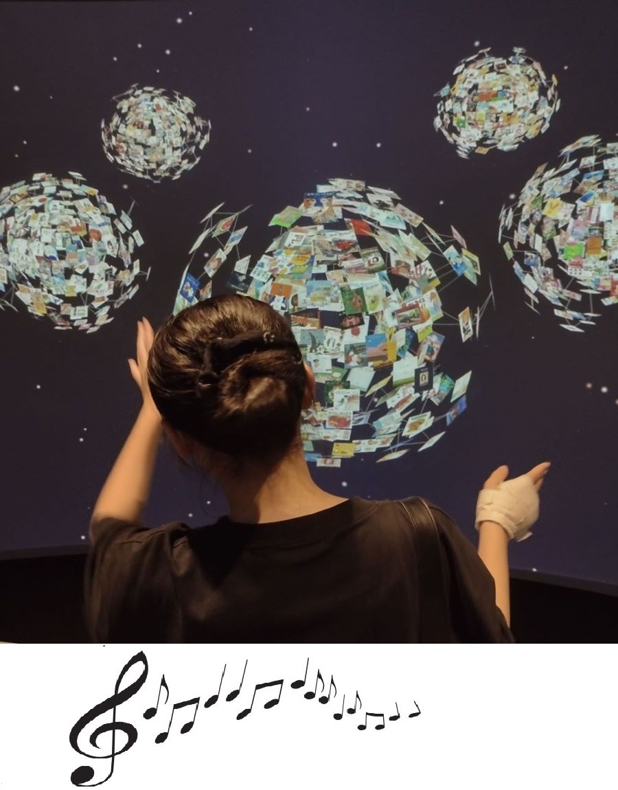
The girl is manipulating the Book Universe in the mini-theater space "Bookrium" at Ishikawa Prefectural Library.
石川県立図書館のミニシアター空間「ブックリウム」での体験です。
News & Information
- Hello world!WordPress へようこそ。こちらは最初の投稿です。編集または削除し、コンテンツ作成を始めてください。

